

Donate to the production of the Cheltenham map.
Click the above link, which takes you to The Heritage Towns Trust’s website. Then under ‘HTT Current Projects’, choose ‘Cheltenham Map’ and progress your donation from there.
Click the above link, which takes you to The Heritage Towns Trust’s website. Then under ‘HTT Current Projects’, choose ‘Cheltenham Map’ and progress your donation from there.
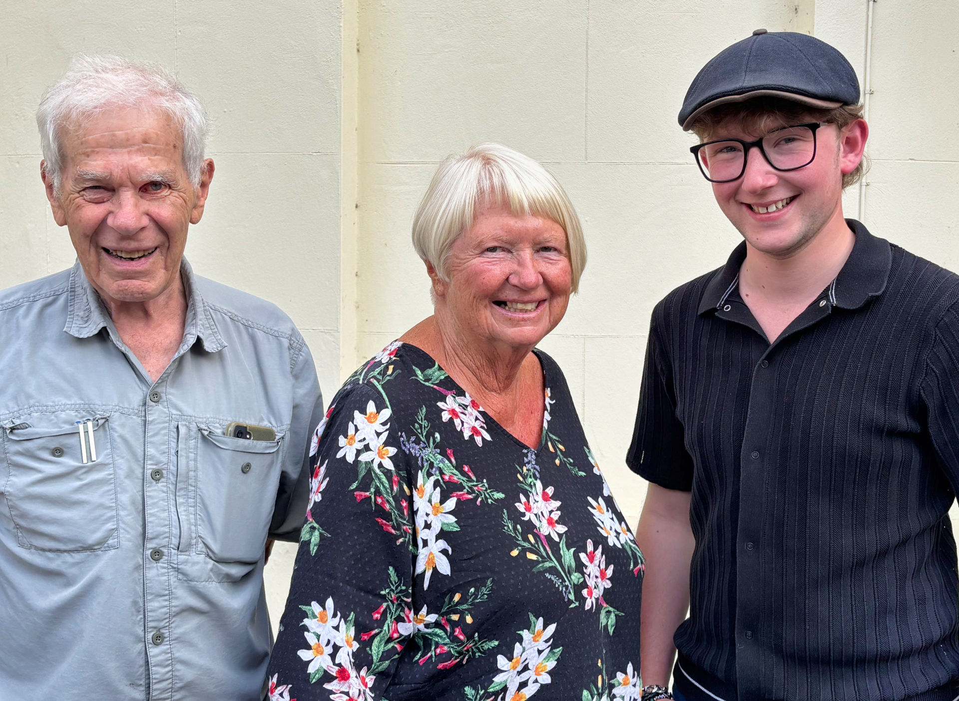
A University of Gloucestershire post graduate historian has been appointed by the Civic Society’s (CCS’s) project board. The board is chaired by Sarah Staniforth – an internationally-renowned expert in heritage conservation – and supported by Adrian Phillips, Chair of the CCS Planning Forum. It oversees and coordinates the preparation of the new historical map of Cheltenham project being produced in partnership with The Historic Towns Trust (HTT).
David Morgan is a public historian, whose work focuses on the ordinary lives of people in the first half of the twentieth century. He has previously worked as the Interim Operations Manager for the Holst Victorian House and is currently researching Gloucester in the Second World War, funded by Voices Gloucester.
Sarah Staniforth said: “We had a strong field of candidates, but David stood out amongst the applicants.” Adrian Phillips added: “We were impressed by David’s enthusiasm for the post, his grasp of what the job would involve and his knowledge of Cheltenham’s history.”
Morgan has already started work alongside the historians and geographers on the project board. He will assemble the research that will be needed by HTT’s cartographer to prepare the map, alongside, the historical information which will be featured in a comprehensive gazetteer on the reverse of the map.
David Morgan said: “It’s an honour to be able to work on such an important project for the town, shining a light on the hidden aspects of Cheltenham’s extensive history.”
Click the above link, which takes you to The Heritage Towns Trust’s website. Then under ‘HTT Current Projects’, choose ‘Cheltenham Map’ and progress your donation from there.
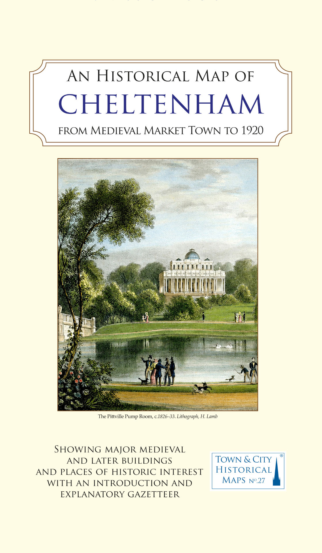
With the initial help of a donation of £10,000 by one of our members, Cheltenham Civic Society (CCS) is leading a campaign to produce a prestigious historical map of Cheltenham.
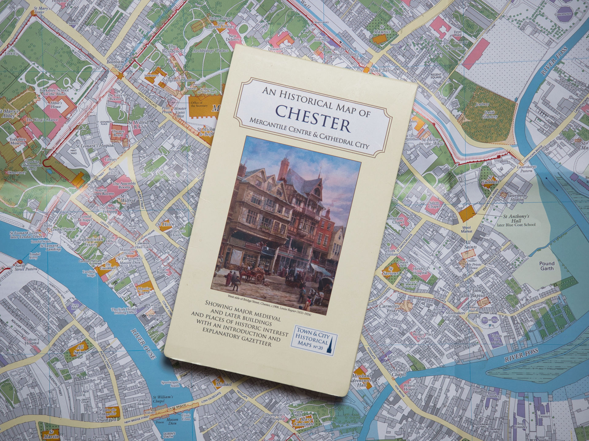
The map will be created by working in partnership with The Historic Towns Trust (HTT), which is a national charity that produces atlases and maps that display the history of British towns and cities.
CCS has already set up a project board led by Sarah Staniforth and Adrian Phillips, and including local historians, geographers, heritage experts and educators.
Adrian Phillips – Chair of the CCS Planning Forum – said: “These maps are beautiful and each one forms a fascinating and easily accessible record of the particular town’s history and heritage. Cheltenham thoroughly deserves one of these maps. Ours will be researched, designed and produced over the next year or two. It will be sold online via The Historic Towns Trust’s website – as well as by all good booksellers – and it will probably retail at around £12.”
The project board’s first task – which is already underway – is to seek and employ a project coordinator to pull together the information needed and work with the trust on the map’s preparation, with the trust’s cartographer producing the detailed artwork.
As well as appointing the coordinator, the project board has a target of raising a further £25,000 to cover the remaining cost of all the design and production work, plus community engagement and educational outreach activities following publication.
CCS member Colin Smith – who raised much of the funding for the Society’s successful WWI Battlefield Crosses Museum two years ago – has volunteered to undertake the fundraising for the map.
In the next few months he will be leading our efforts to secure a main sponsor for the map – with targets likely to include the major employers in the town.
The appointment of the project coordinator should be confirmed by the beginning of August, and that will be followed by a project launch event to be held at the Pittville Pump Room on 15th September as part of the Heritage Open Days festival.
Though the work might take longer, the project board’s aim is to complete the research and production work by summer next year, in time to publish the completed map in autumn 2027. An event to unveil the map has already been reserved during the LitFest in October that year.
The Historic Towns Trust has been in existence for over 70 years and is part of a Europe-wide programme. The atlases and maps they produce are of very high standard. They are beautiful productions in their own right and great tools for education and citizen engagement around local heritage.
The towns and cities that The Historic Towns Trust has produced maps for include: Bath, Oxford, Cambridge, Canterbury, Bristol, Swansea, Perth, Chester, Bradford, Coventry, Ipswich and Hull. Each map is produced through a partnership between the trust and a local group – such as a civic society or a historical society.